I recently got a Gen 2 and in the process of totally geeking out during the setup (who know grass types and USDA soil maps could be so fascinating??), I had an idea, and a friend suggested that I share it here.
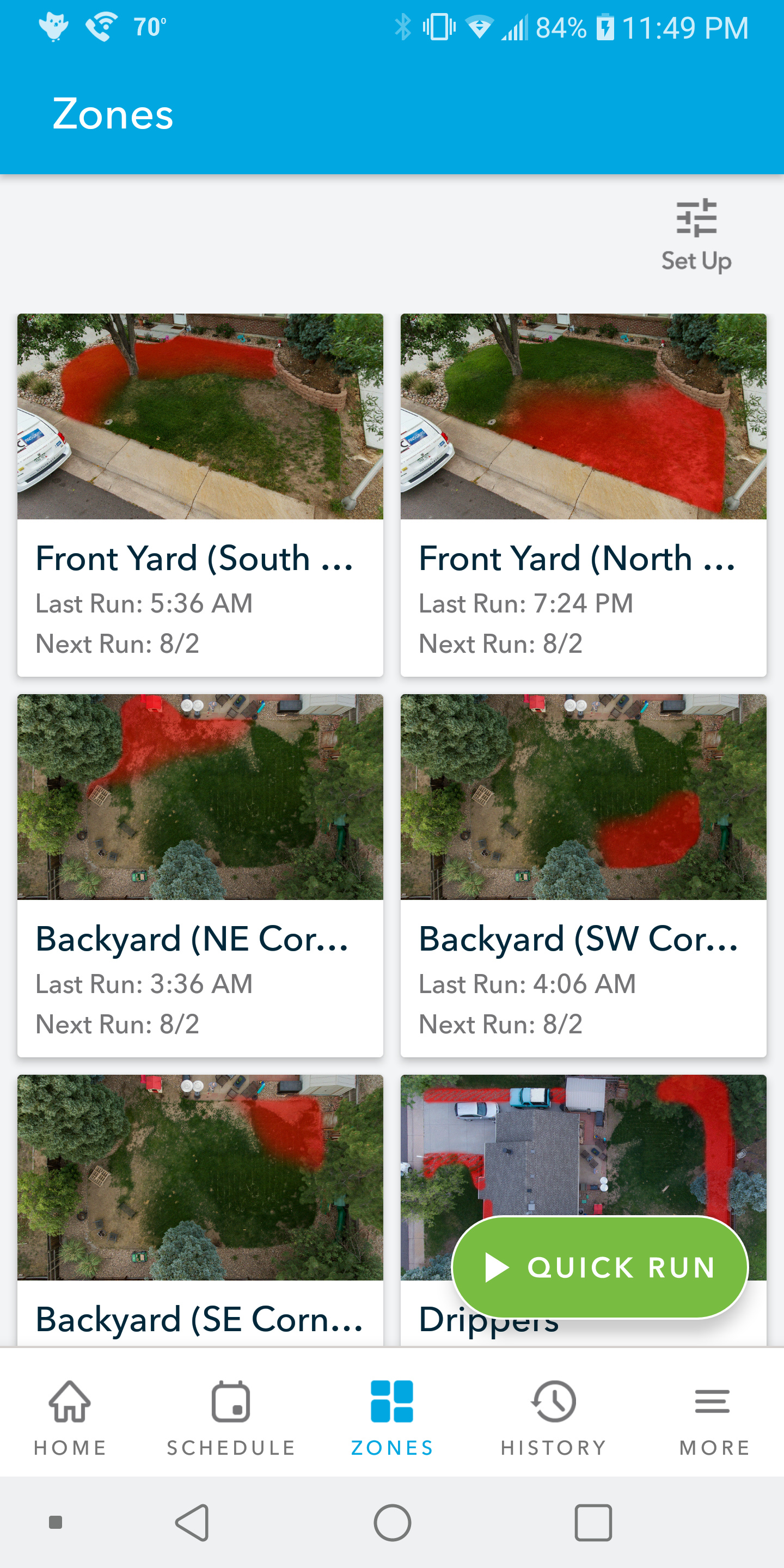
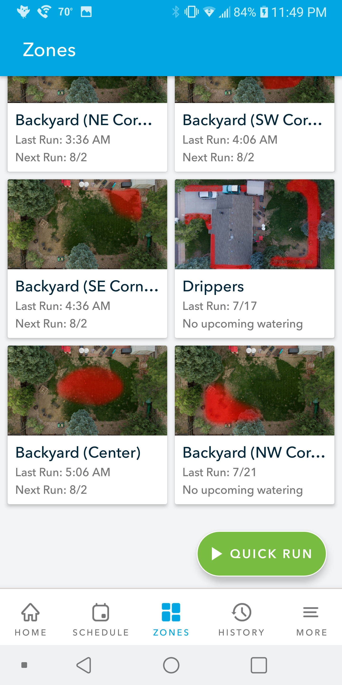
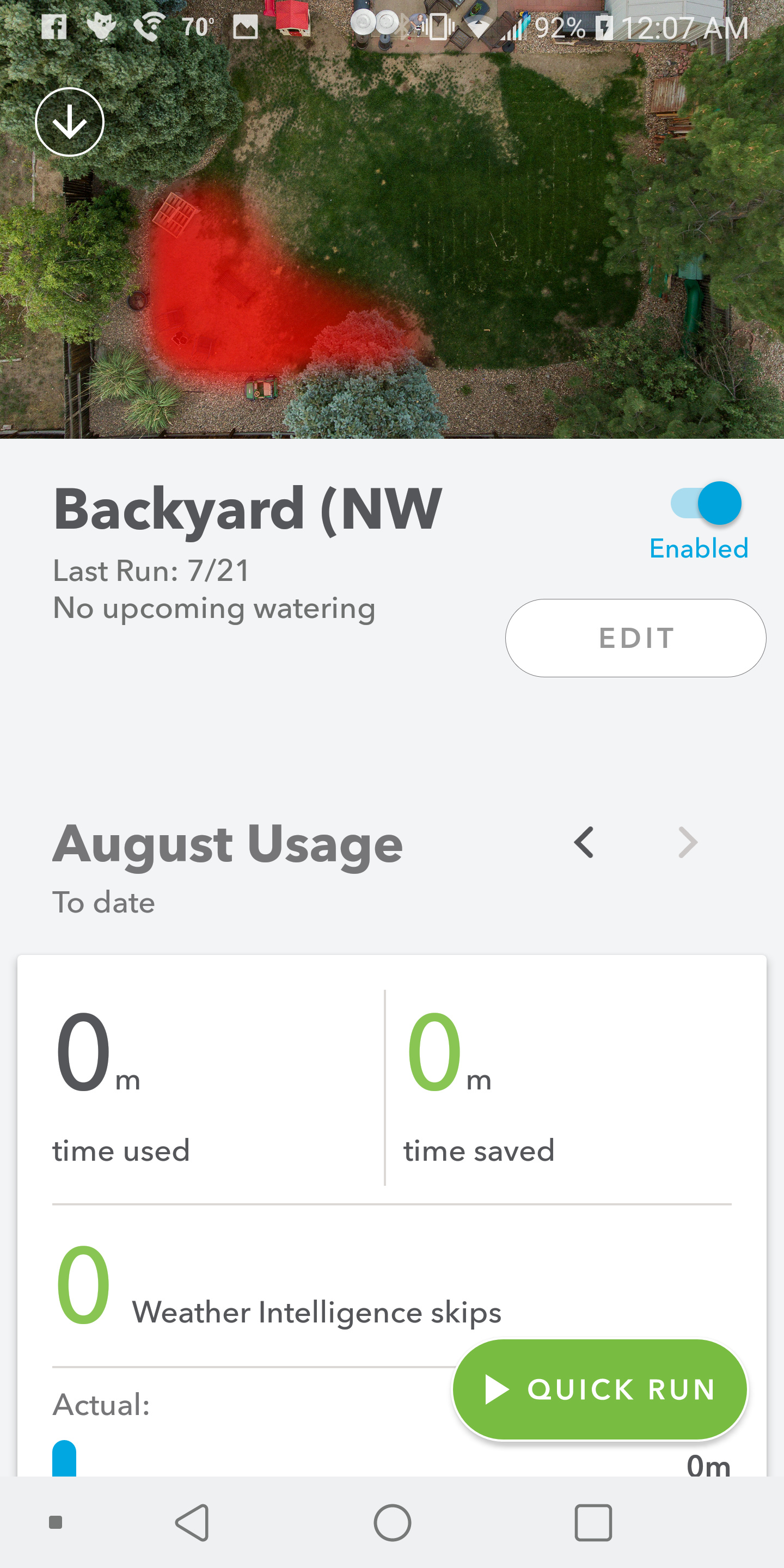
During zone setup, at the point where a picture can be added, I initially just snapped a photo with my phone, but quickly had an idea to improve the legibility of which zones are where (for me). So I used by Phantom 4 to take some quick aerial photos of my house, and than used Photoshop to show the approximate area that each zone waters.
This was step 1 in an ongoing project to repairs and improve the existing irrigation system, so there’s obviously tons of room for improvement both in how the zones are physically laid out, how they are connected to the controller, and the thumbnail images as well.
As I continue tweaking, I plan to indicate both the sprinkler heads and buried lines on the zone images for my own reference (I’ve been repairing the lines and heads where you can see dead grass, and it’s been a learning experience to say the least.)
At any rate, thanks for taking a look. I hope this inspires someone else. I’d love to hear any suggestions about how I can improve this system and my lawn in general.